| Airport Information |
|---|
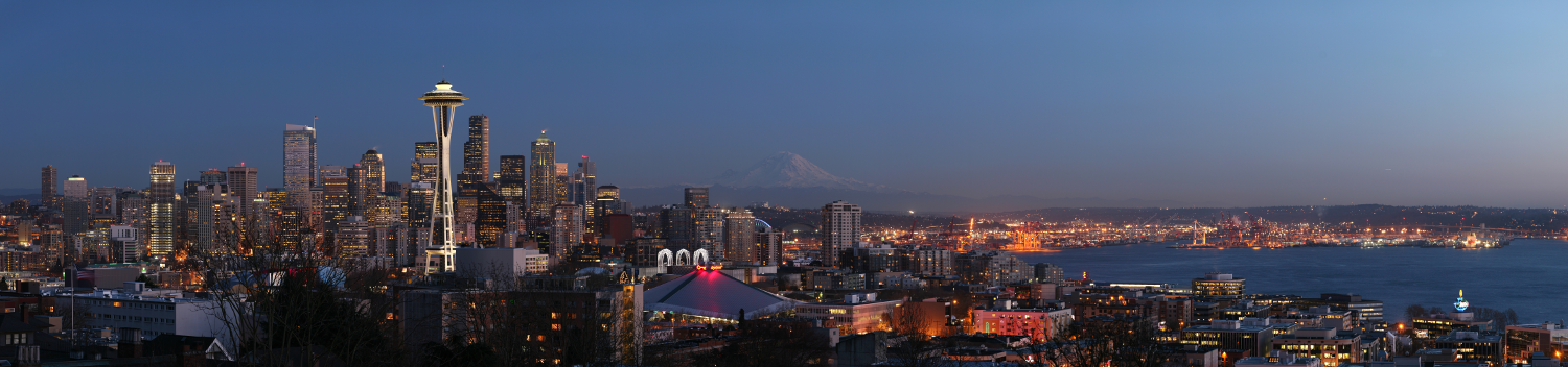
KSEA - Seattle Tacoma Intl Airport
METAR KSEA 291553Z 19012KT 2SM -RA BR SCT003 BKN006 OVC011 10/09 A2996 RMK AO2 TWR VIS 3 RAB01 SLP150 VIS 1 1/2V3 P0003 T01000094 $
General Information
- Coordinates: N 47°26'56"/ W 122°18'33"
- Location: 10 miles S of Seattle, Washington on 2500 acres of land.
- Surveyed Elevation: 433 MSL
Operations
| Flow Name | Active Runways | Conditions |
|---|---|---|
| North Flow | Landing: 34C/34L Departing: 34L |
Wind Direction: 251-069° Wind Speed: >5 |
| South Flow | Landing: 16C/16R Departing: 16L |
Wind Direction: 070-250° Wind Speed: ≤5 or CALM |
Green background denotes normal operations.
Common Frequencies
| Callsign | Frequency | Position Name |
|---|---|---|
| SEA_DEL | 128.000 | Seattle Clearance Delivery | SEA_GND | 121.700 | Seattle Ground | SEA_DEP/SEA_Y_APP | 120.400 | Seattle Departure/Seattle Yankee Sector | SEA_APP/SEA_W_APP | 125.600 | Seattle Combined Approach/Seattle West Approach | SEA_E_APP | 123.900 | Seattle East Approach | SEA_F_APP | 133.650 | Seattle Final Approach | KSEA_ATIS | 118.000 | Seattle - Tacoma ATIS | SEA_TWR | 119.900 | Seattle Tower |
More at the Document Center
Charts
| Name | Description | Cycle |
|---|---|---|
| BANGR NINE (RNAV) Page 1 | 260514 | |
| ELMAA FIVE Page 1 | 260514 | |
| HAROB SIX (RNAV) Page 1 | 260514 | |
| ISBRG ONE (RNAV) Page 1 | 260514 | |
| JEFPO ONE (RNAV) Page 1 | 260514 | |
| MOUNTAIN TWO Page 1 | 260514 | |
| OZWLD ONE (RNAV) Page 1 | 260514 | |
| SEATTLE ONE Page 1 | 260514 | |
| SUMMA TWO Page 1 | 260514 |
| Name | Description | Cycle |
|---|---|---|
| CHINS FIVE Page 1 | 260514 | |
| GLASR THREE Page 1 | 260514 | |
| HAWKZ EIGHT (RNAV) Page 1 | 260514 | |
| JAWBN SEVEN Page 1 | 260514 | |
| MARNR EIGHT (RNAV) Page 1 | 260514 | |
| OLYMPIA TWO Page 1 | 260514 | |
| SKYKO ONE Page 1 | 260514 |